
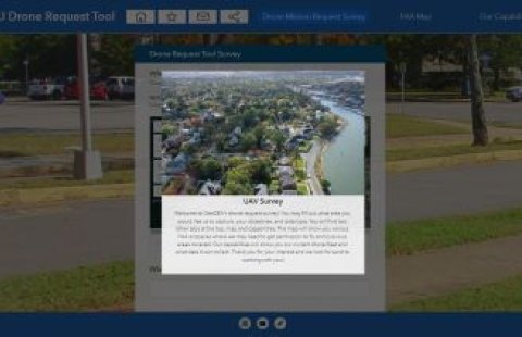
The ODU GeoSEA Team has developed an application for users to submit drone mission requests. The team will evaluate submissions and coordinate to carry out drone flights.
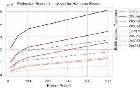
ODU's GeoSEA estimated exactly how much coastal Virginia could lose if nothing changes to confront sea level rise and flooding.
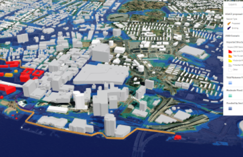
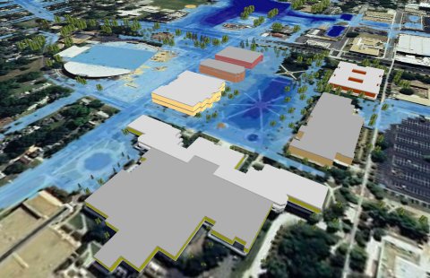
ODU researchers are building a digital version of Hampton Roads to simulate the area's flooding future.
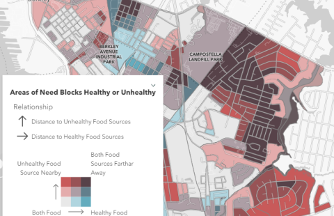
The Location Intelligence for Food Equity (LIFE) project partnered researchers from Old Dominion University, Eastern Virginia Medical School, Norfolk State University, and the Hampton Roads Biomedical Research Consortium to develop spatial data that identify food equity and security information at the neighborhood scale.

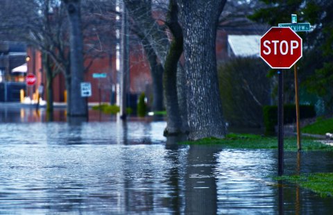
Flood-mapping project featured on WHRO's "At A Crossroads" series that shows the impact of flooding and sea level rise in some of Hampton Roads most socially vulnerable areas.
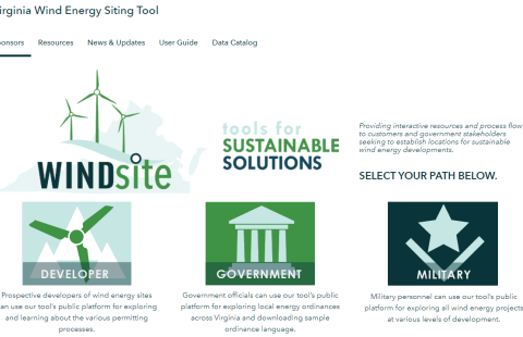
The Windsite page provides interactive resources for those seeking to establish locations for sustainable wind energy developments
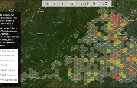
A project that discusses the patterns and trends of severe weather in Virginia and displays locations within the state that have experienced the strongest tornadoes.
ODU worked closely with the Commonwealth to develop research-based recommendations to for elevation standards for new, state-owned buildings.
ODU partnered with City of Norfolk and NOAA to use drones, GIS, blue water-based paint, chalk lines, and flags to show the projected future high tides.
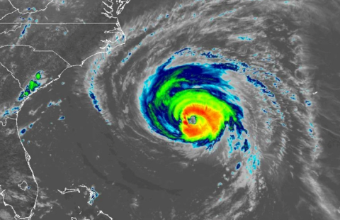
An Analysis of the Potential Costs and Consequences of a Hurricane Impacting the Virginia Beach-Norfolk-Newport News Metropolitan Area.
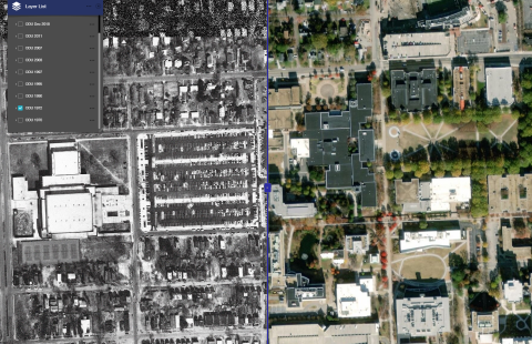
A web mapping application to display historical aerial imagery for ODU's main campus from the 1970s to present.
A study of the Norfolk International Terminal South to determine which areas and infrastructure are susceptible to tidal flooding, storm inundation and surge.
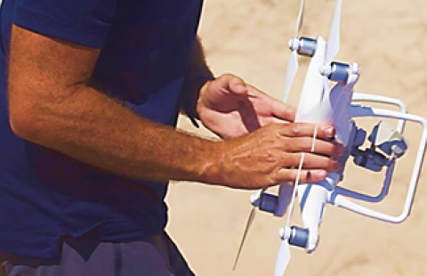
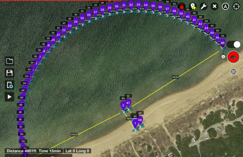
Partnership with CCPO to use small UAVs to calibrate high frequency radars used for ocean surface current mapping.
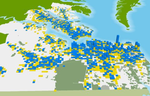
Over 120 maps were developed and analyzed using GIS, providing information critical to planning the future of the Hampton Roads Region.
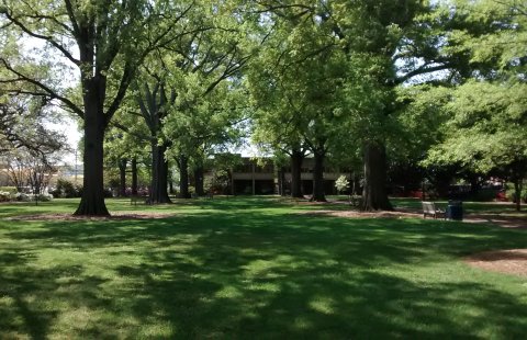
Creation of GIS database and 2d, 3d visualizations of trees on ODU Norfolk campus. Data collected by students and project conducted in partnership with ODU Facilities Management.
For assistance with software installations, technical troubleshooting, or data discovery please place an inquiry with our Help Desk at itshelp@odu.edu or (757) 683-3192.